The Canary Islands also known informally as the Canaries, are a Spanish region and archipelago in the Atlantic Ocean, in Macaronesia. At their closest point to the African mainland, they are 100 kilometres (62 miles) west of Morocco. They are the southernmost of the autonomous communities of Spain. The islands have a population of 2.15 million people and they are one of the outermost regions of the European Union.
The eight main islands are (from largest to smallest in area) Tenerife, Fuerteventura, Gran Canaria, Lanzarote, La Palma, La Gomera, El Hierro and La Graciosa. The archipelago includes many smaller islands and islets, including Alegranza, Isla de Lobos, Montaña Clara, Roque del Oeste, and Roque del Este. It also includes a number of rocks, including those of Salmor, Fasnia, Bonanza, Garachico, and Anaga. In ancient times, the island chain was often referred to as „the Fortunate Isles”. The Canary Islands are the southernmost region of Spain, and the largest and most populous archipelago of Macaronesia. Because of their location, the Canary Islands have historically been considered a link between the four continents of Africa, North America, South America, and Europe.
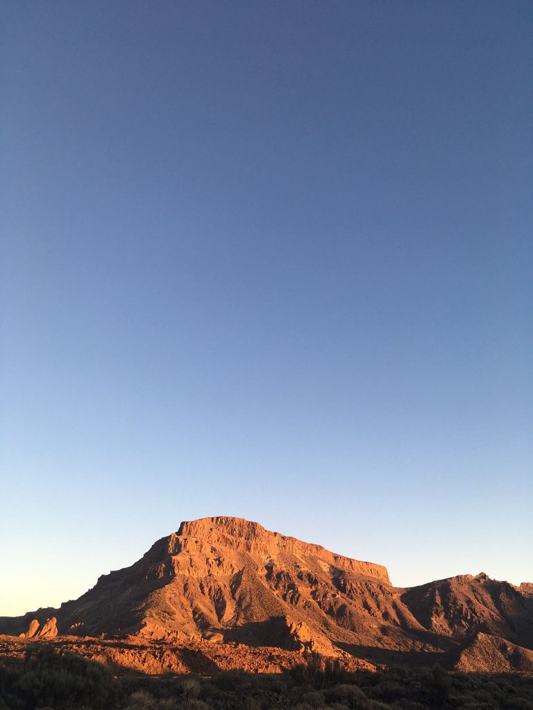
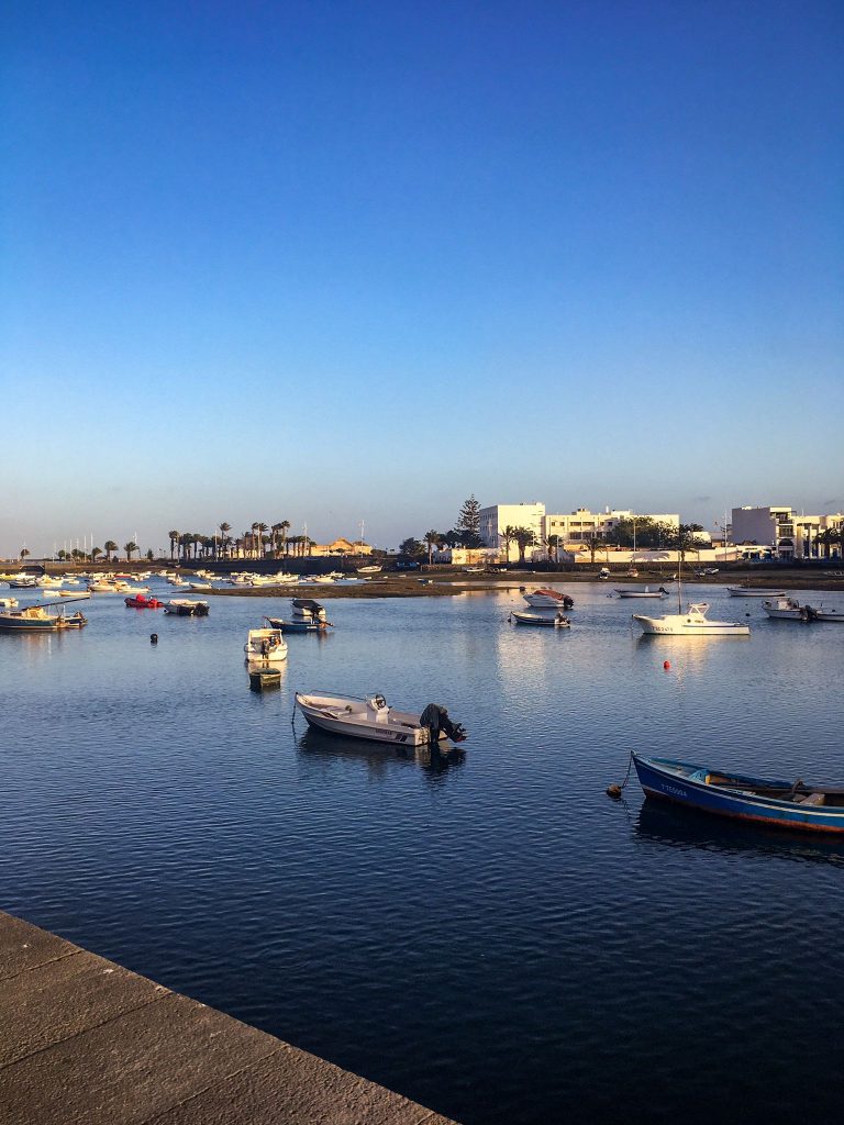
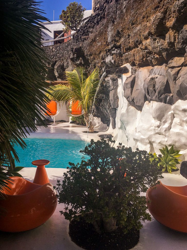
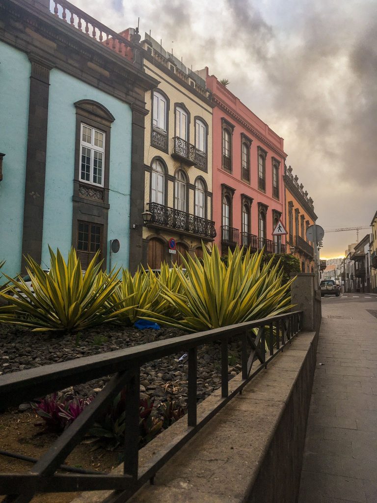
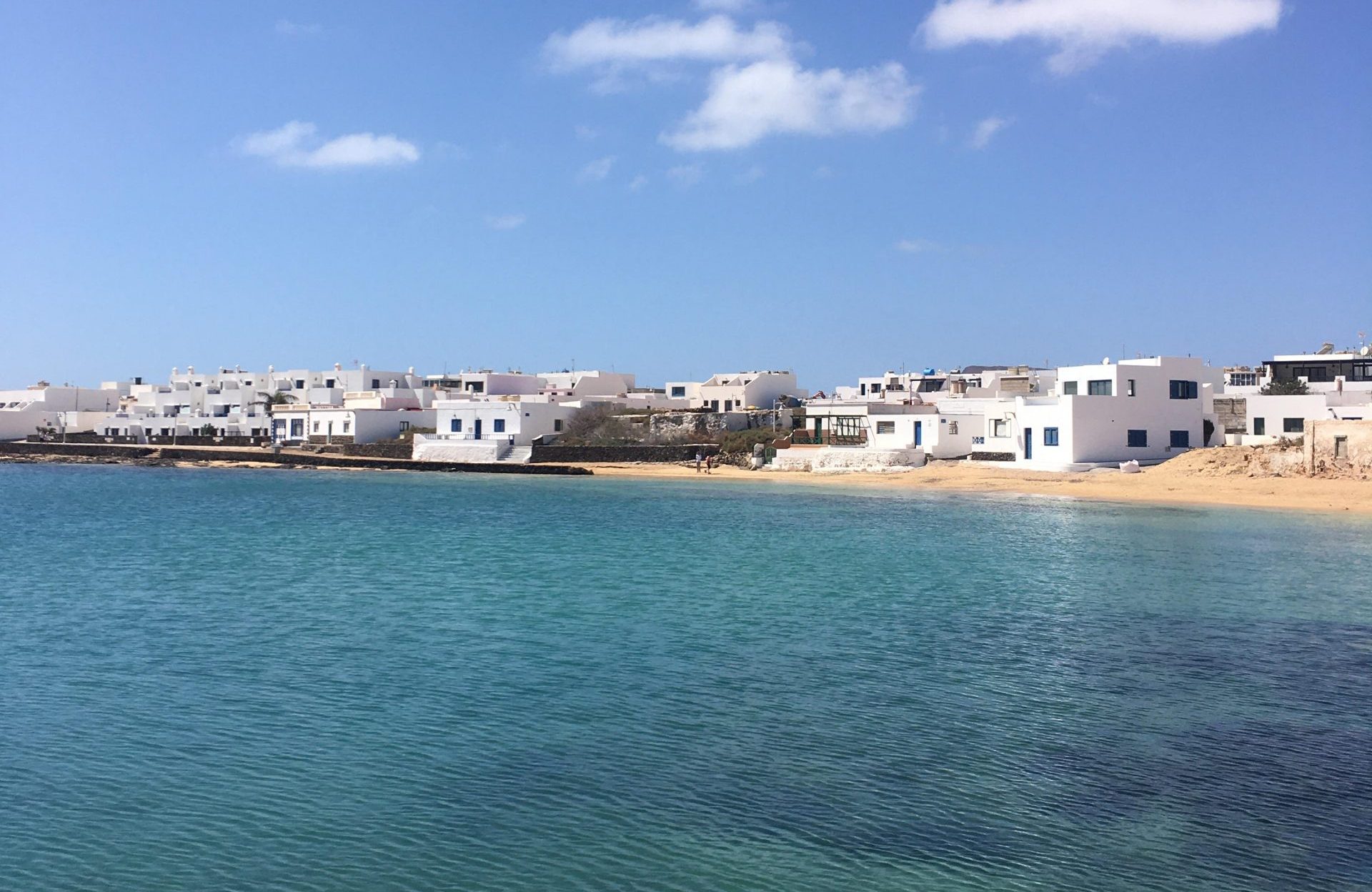
I had the pleasure to visit Tenerife, Lanzarote, la Graciosa and Gran Canaria. It was a two-week travel, that is definately considered one of my favorite memories ever. The views, the people and everything I got to know during this trip made me who I am today. I honestly reccommend it!